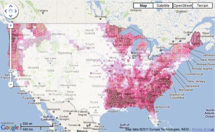
I added biomass potential layers from the NREL biomass 2008 data set.
You can see them on our National Map.
For instance you can see a map of Forest Residue (dry tons per square mile).
You can click on the layer to get the underlying data value.
Burn that residue before the forest gets a chance to grow back!